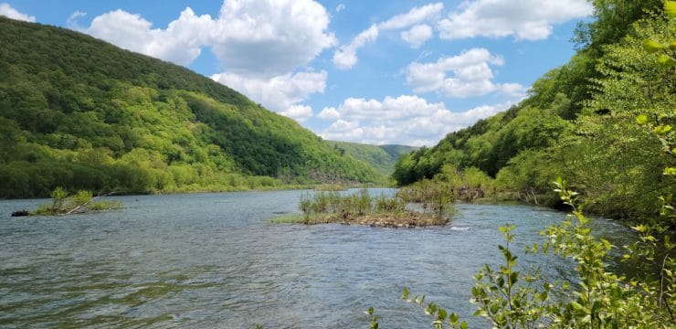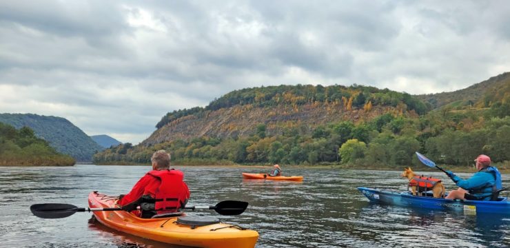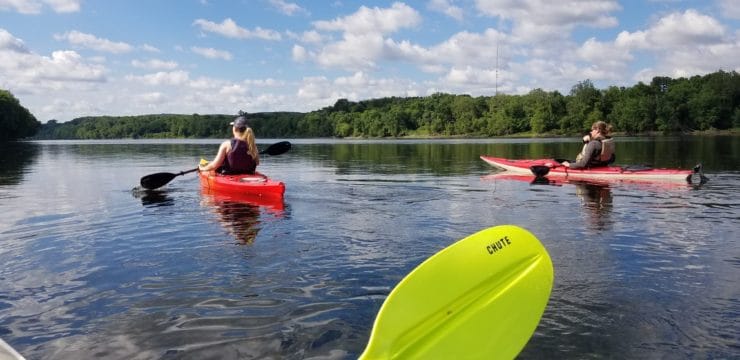


This town-to-town route traverses a calm stretch of the Susquehanna River amidst a landscape of trees and farm fields. As you float downstream, keep your eyes and ears open for a chance to experience local wildlife like egrets, heron, songbirds, and more along the brushy shores. Halfway through the route there is an optional stop at Milton State Park (situated on a river island), where paddlers can stretch their legs, enjoy a picnic lunch, and access restrooms.

Description
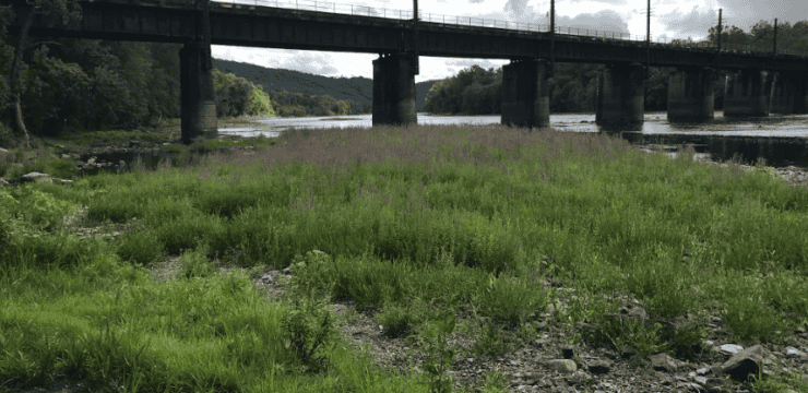
At the Watsontown Park, one can view interpretive panels on the former West Branch Division of the Pennsylvania Canal, a pavilion designed to look like a canal boat, and walk the 1-mile Towpath Trail. From the PFBC Watsontown Access (river left, river mile 15.6) look upstream to view the historic Watsontown Bridge. Built in 1927, the bridge has earned a listing on the National Register of Historic Places. It’s a unique example of a long, multi-span open-spandrel arch bridge with solid barrels, rather than individual arch rings. Across the river is the mouth of White Deer Hole Creek.
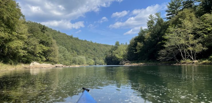
As you head downstream, the borough of Watsontown fades from view, and trees and fields dominate the landscape. Pass under the I-80 bridge and navigate around a couple small islands near a campground (private access). Around mile 12.5, Davis Island will come into view. Stay river left in low water and to reach the river access on the next larger island.
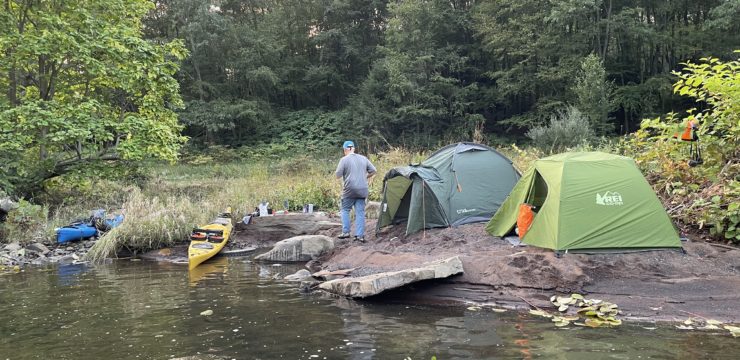
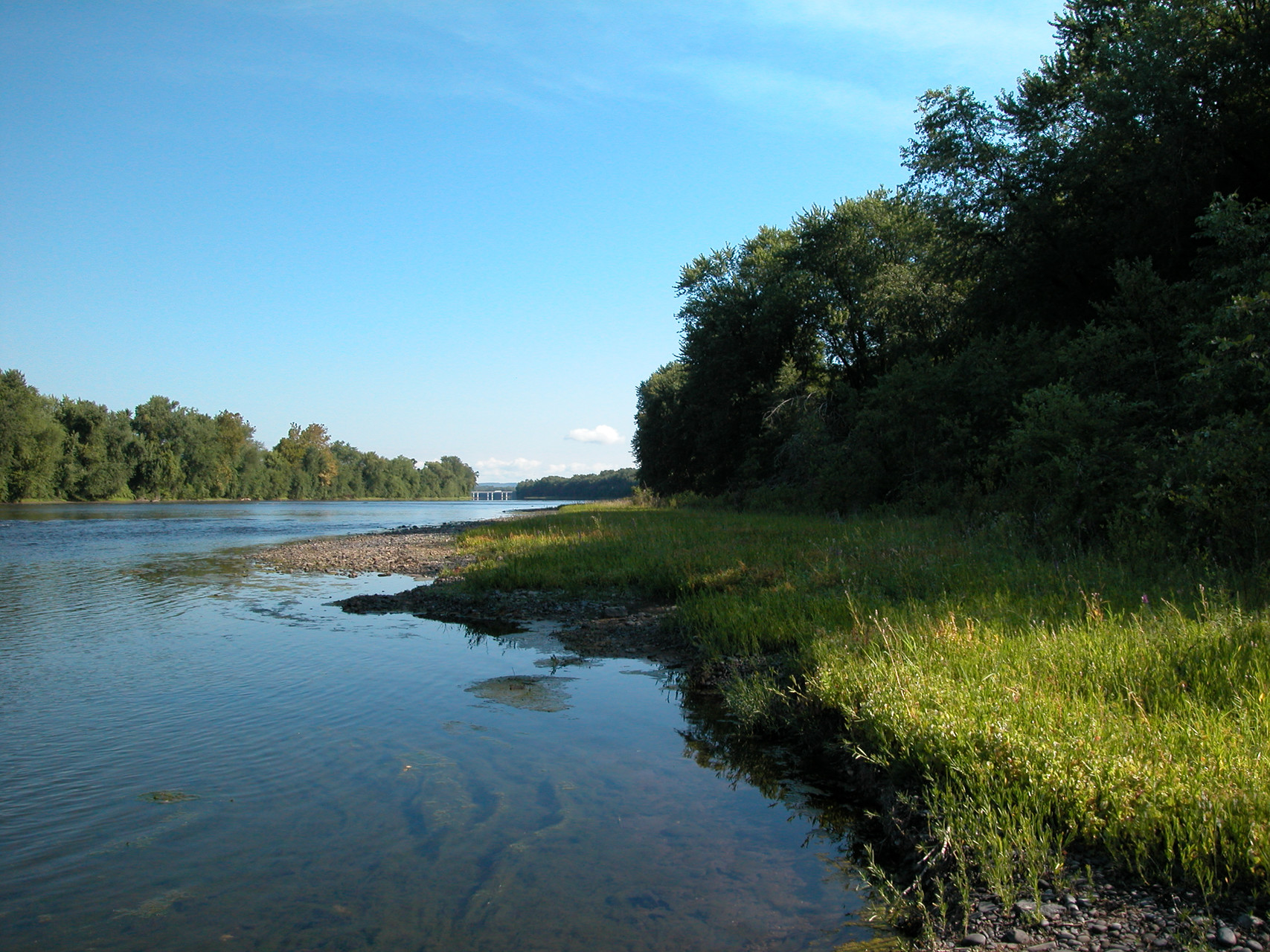
Although optional, at mile 11.4 (just after passing under PA-642 bridge, the location of USGS West Milton gauge), one can land at the Milton State Park boat launch (river left) for lunch and rest if desired. Picnic tables, water, and restrooms can be found inland toward the upstream (north) section of the island. Walk off lunch with a short jaunt on the trails on the 82-acre island. The southern half, especially, is being managed for activities such as nature study and bird watching. The island is a rest area for migrating waterfowl and songbirds.
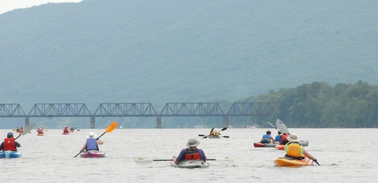
Launch and continue downstream, passing under a railroad bridge and power lines that transect the island. More farm fields and a small island, then you’ll reach the PA-45 bridge. Keep an eye out for the eagles that like to perch on the preceding railroad bridge here. The USGS gauge here can read as low as 1.2 and still afford passable water levels.
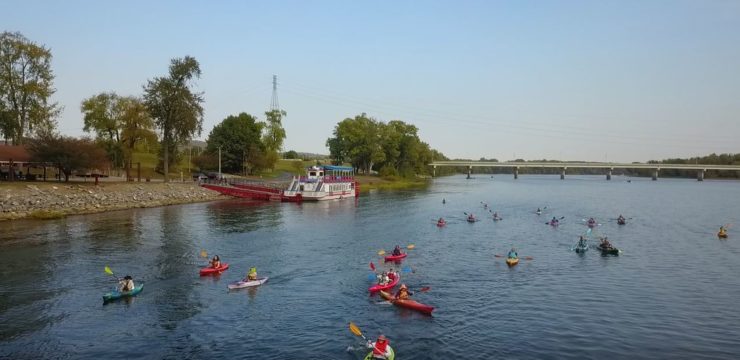
Take out at the Lewisburg Landing canoe launch, river mile 7.3, on river right. Some folks may wish to explore historic downtown Lewisburg, walk the River Trail, spend the night, or continue downriver to float around Lake Augusta, formed by the fabridam at Shamokin Dam.
Amenities
Watsontown, Milton, and Lewisburg all offer a range of dining, lodging, and cultural activities. Lewisburg is an official Susquehanna Greenway River Town. After disembarking, relax and take in the river at one of 3 riverfront parks in the borough: Mariah Quant Memorial Garden, Soldiers Memorial Park, or Saint Anthony Street Park.
Put In
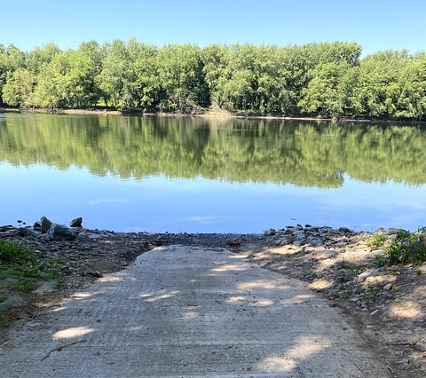
River Mile 15.6: PFBC Watsontown Access
Take Out
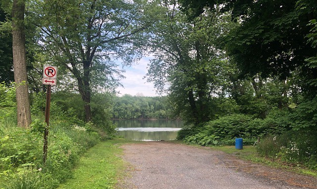
River Mile 7.3: Lewisburg Landing
This route corresponds with Sections 15 & 16 of the Susquehanna River Water Trail – West Branch Map & Guide, a waterproof resource which provides additional details on amenities, points of interest, emergency contacts, and gage height recommendations.
Outdoor Recreation Map
Online Map Disclaimer: This online map is provided as a public service by SGP. These maps overlay recreation information on top of base geographic maps provided from other source providers. Names of water bodies, roads, etc. are all part of this base map. Since the SGP does not control the information presented on these base map layers, the accuracy of this information is not guaranteed. The online map and its contained information presented by the SGP are to be used for reference purposes only. The SGP is not responsible for inaccuracies, nor is any responsibility assumed for damages or other liabilities due to the accuracy, availability, use or misuse of the information provided on this map. Business information was provided by the businesses themselves. Any inaccuracies or updates related to a business may be reported to [email protected].