


At A Glance
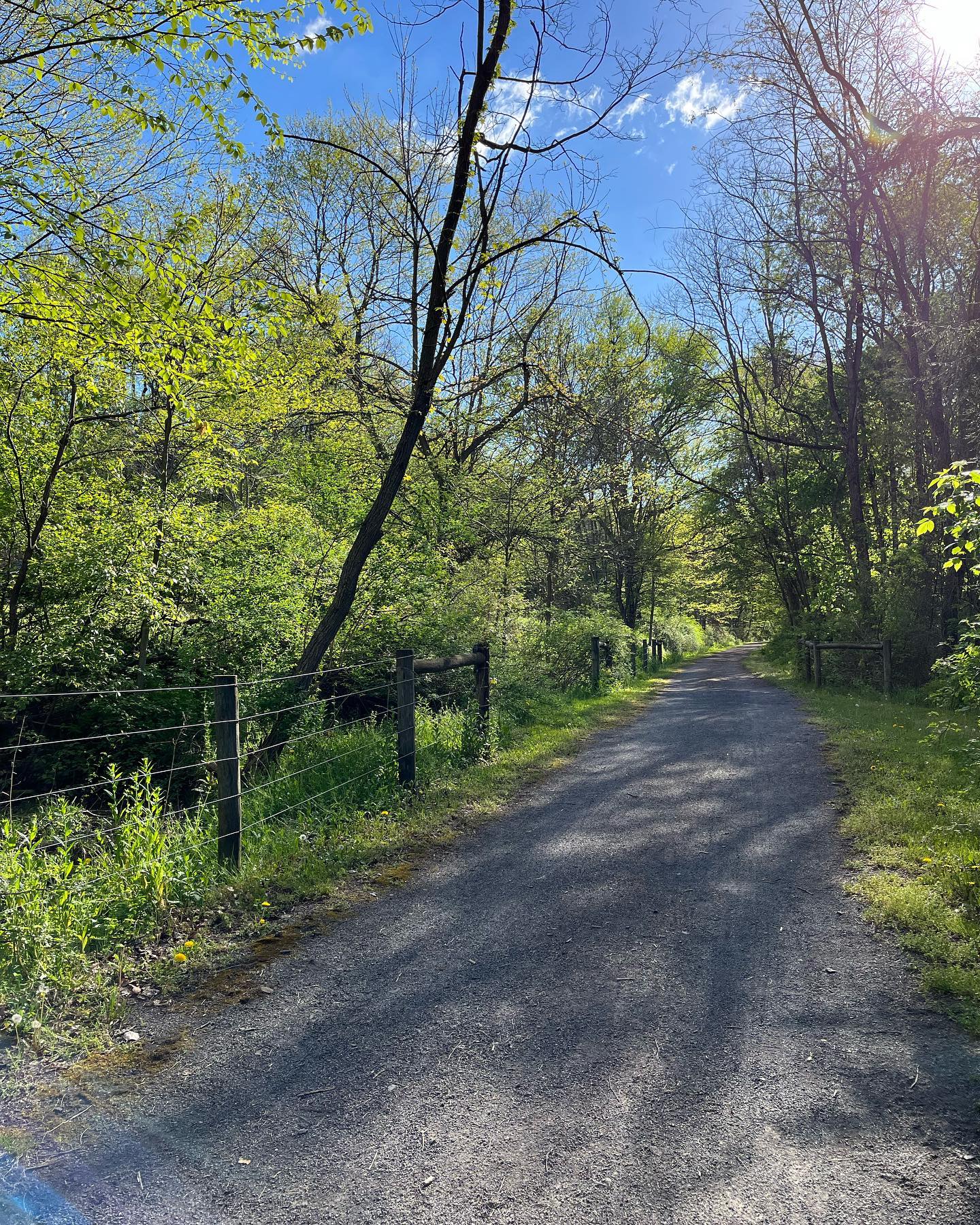
Those who explore the scenic David S. Ammerman Trail will be treated to an easy, multi-use path rich with history, winding through forests, farmland, and waterways from Clearfield to Grampian along a former rail line once vital to coal and clay transport.
Description
Once known as the Clearfield and Grampian Trail, in 2011, the name was changed to the David S. Ammerman Trail in memory of the man who championed turning the abandoned rail corridor into a recreational trail.
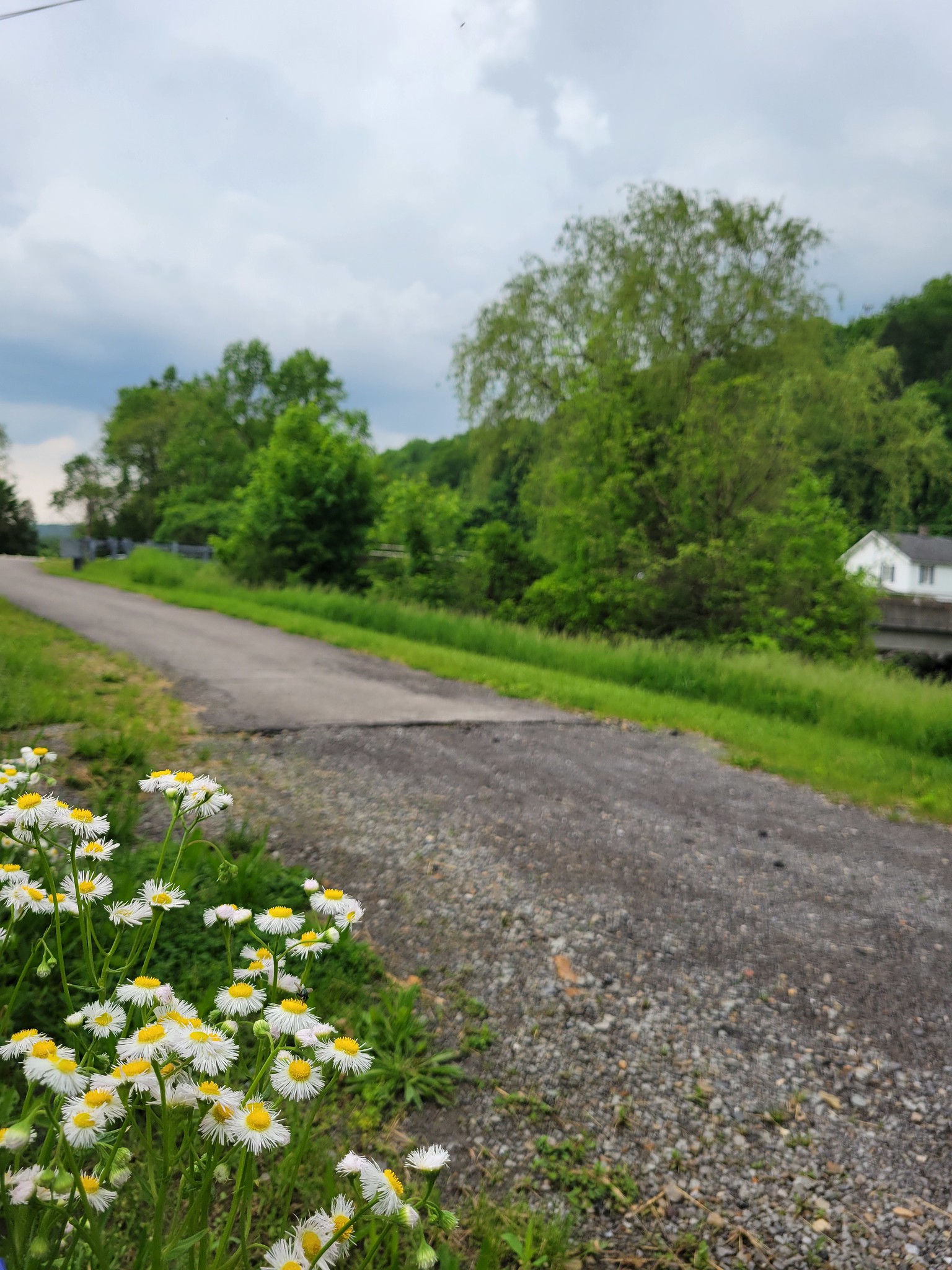
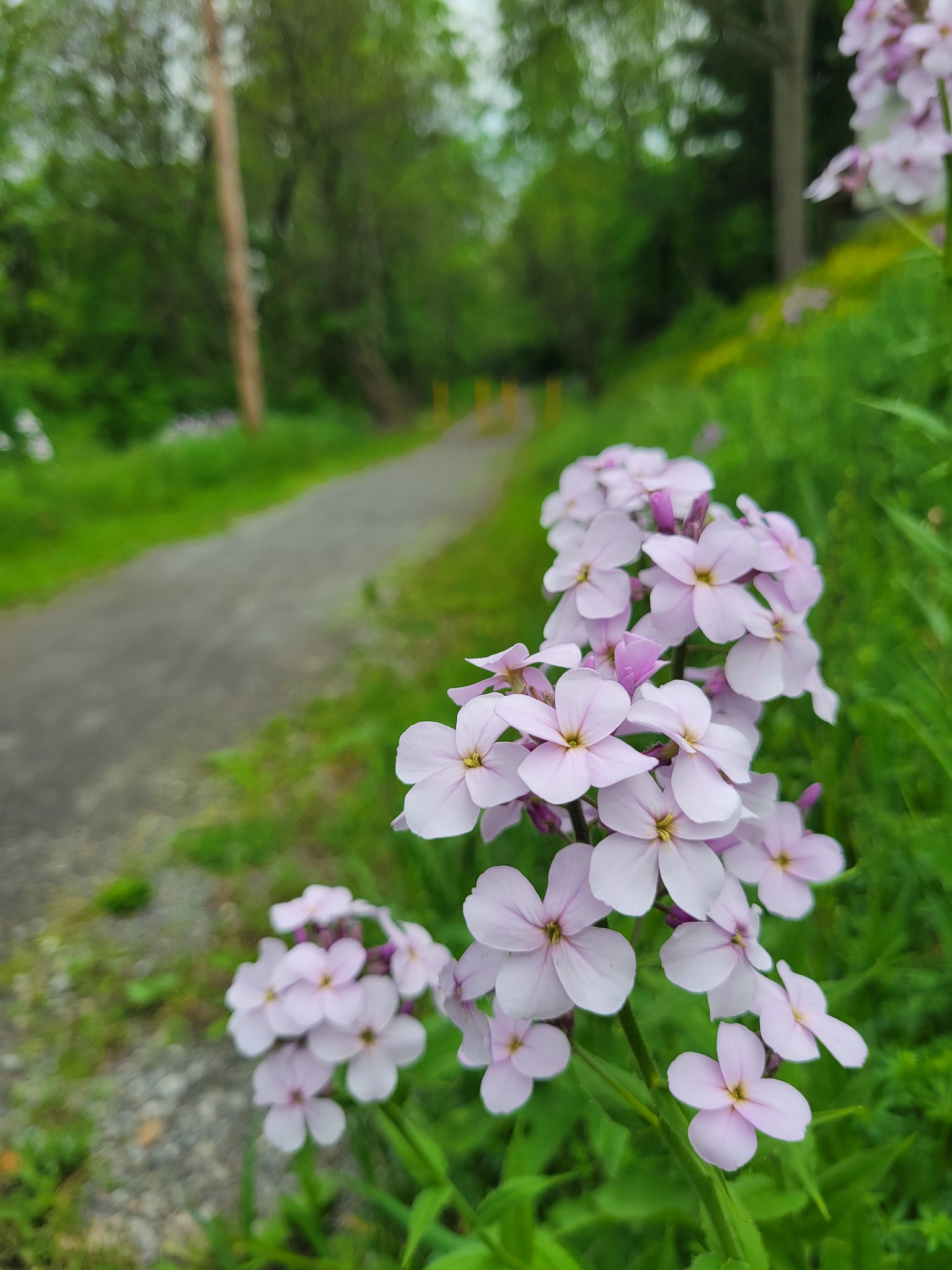
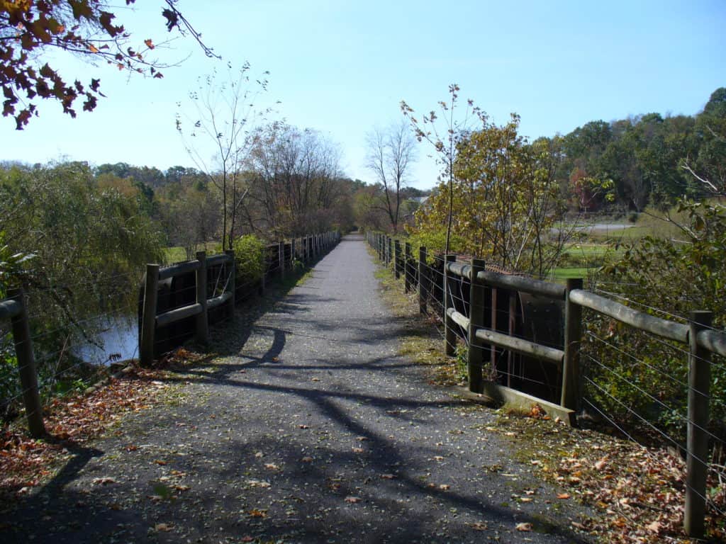
Take in scenic views of water, farmland, and forests and a vibrant history of railroad commerce and Native American life. As you walk, bike, or ski this easy and smooth trail from Clearfield to Grampian, you’ll enjoy the glistening waters of Kratzer Run, Anderson Creek, and the Susquehanna River. The former railroad line carried tons of coal and quarried stone along the East Coast, as well as clay, which was used to make bricks in the many brickyards along the trail.
Grampian, named by Scottish settlers after the Grampian Mountains of Scotland, was also home to Quakers in the early 1800s. Clearfield, settled in the late 1700s by Revolutionary War veterans with land grants, was named for the clearings made by grazing bison. The Native Americans called this major trading center along the Susquehanna River “Chinklacamoose.” The trail was part of the Great Shamokin Path used by the Lenape and Mohican tribes.
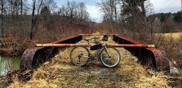
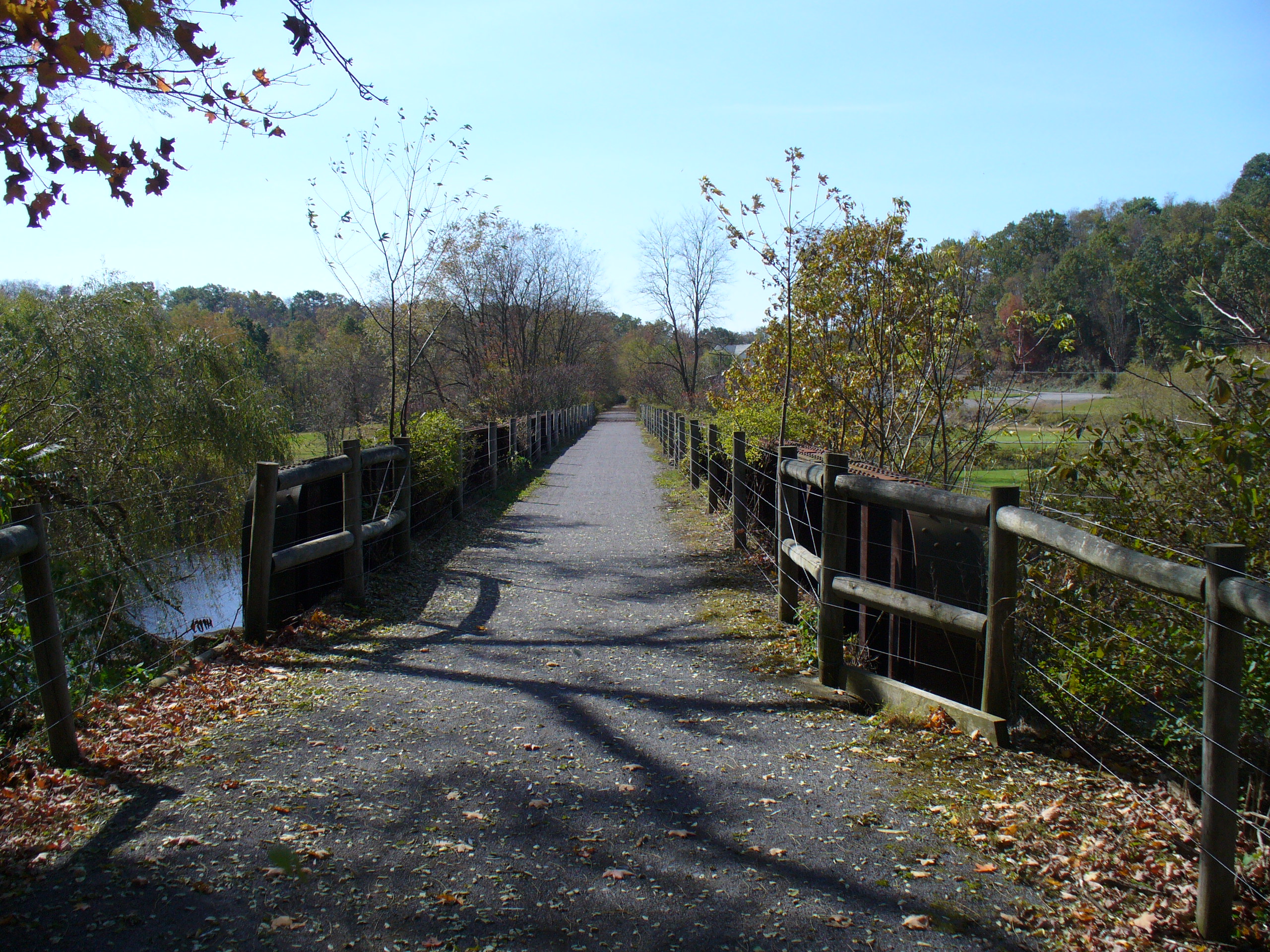
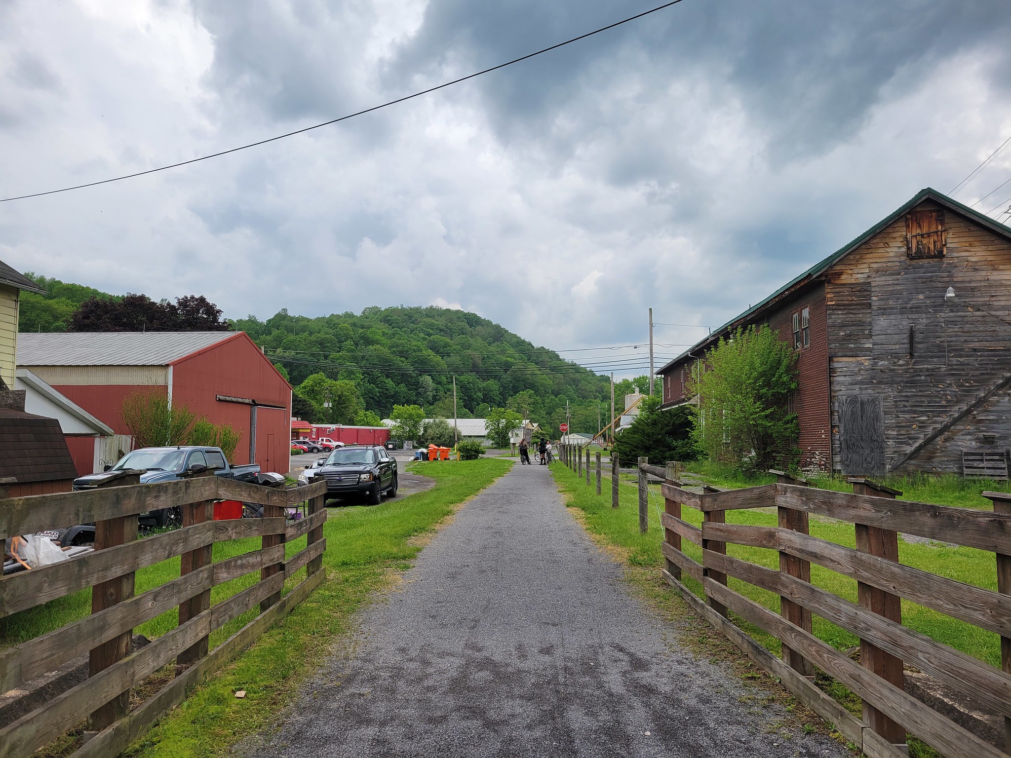
The David S. Ammerman Trail offers several opportunities for stops to enjoy the scenic beauty of the area, with picnic tables available at around 2.5 miles, 4 miles and 6.7 miles outside of Grampian. Several railroad bridges remind you of the commerce that was important to the area when the railroad was built in the late 1860s and 1870s. The first two bridges you pass are located in the borough of Curwensville about 4 miles outside of Grampian.
Maps
Parking and Trail Access
To reach the Clearfield Trailhead, take I-80 to Exit 120 for Clearfield. Take Route 879 South about 2.5 miles and turn right on the Spruce Street Exit. Take the first left (Chester Street), and in another 200 yards turn left. Parking is available at the trailhead.
The Grampian trailhead is one block from the stoplight at the intersection of U.S. 219 and Routes 879 and 729. A large sign on Route 729 identifies the trailhead and public parking area.
Explore More with our Interactive Map