
Description
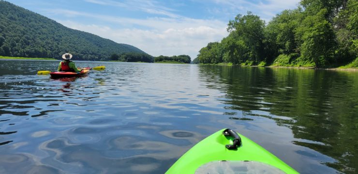
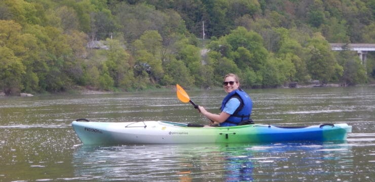
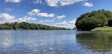
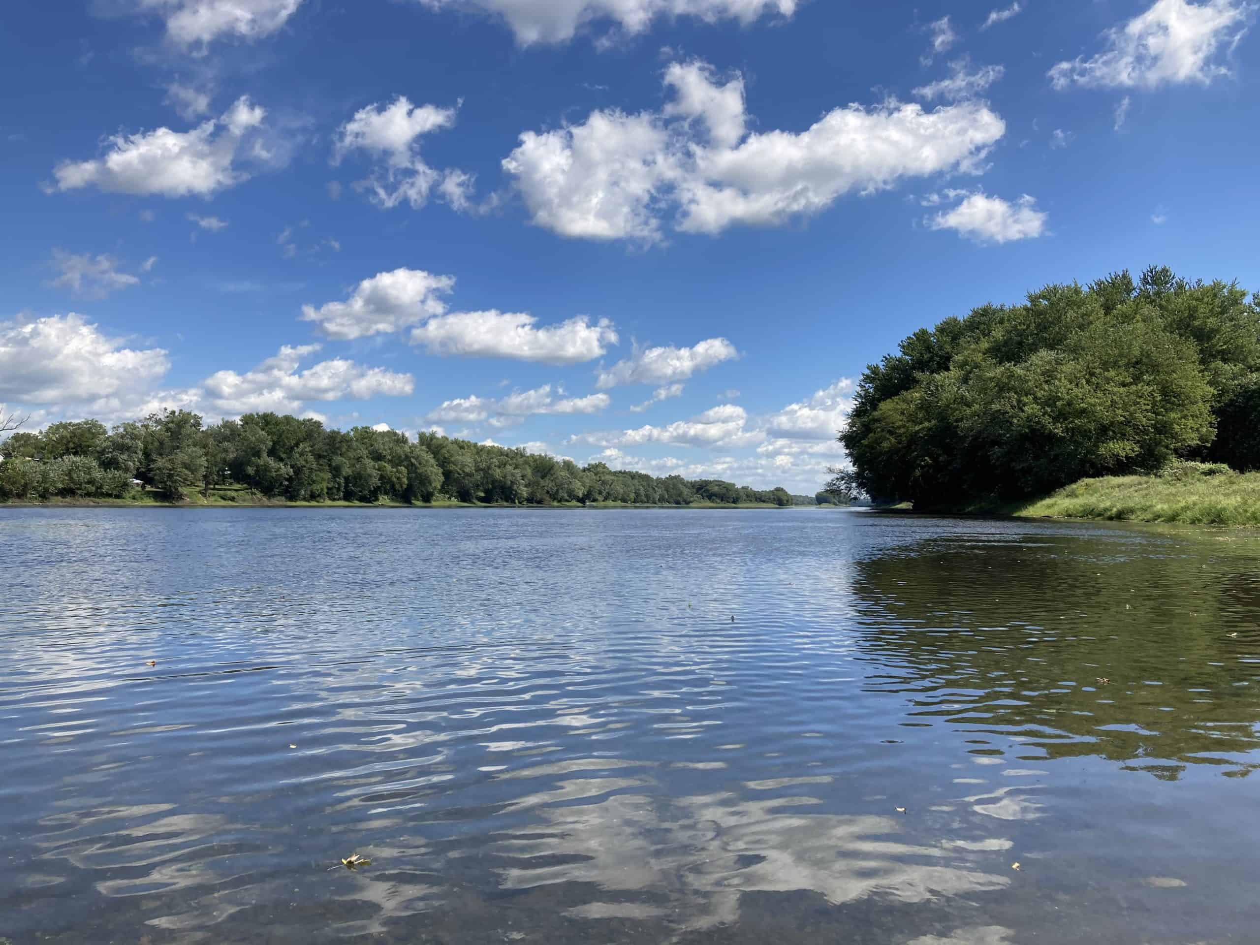
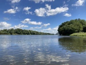
This quiet stretch of the river is perfect for all levels of paddlers, from expert to novice (with river level between one and six feet at Bloomsburg USGS gauge), and ideal for trying stand-up paddleboards (SUP).
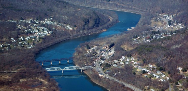
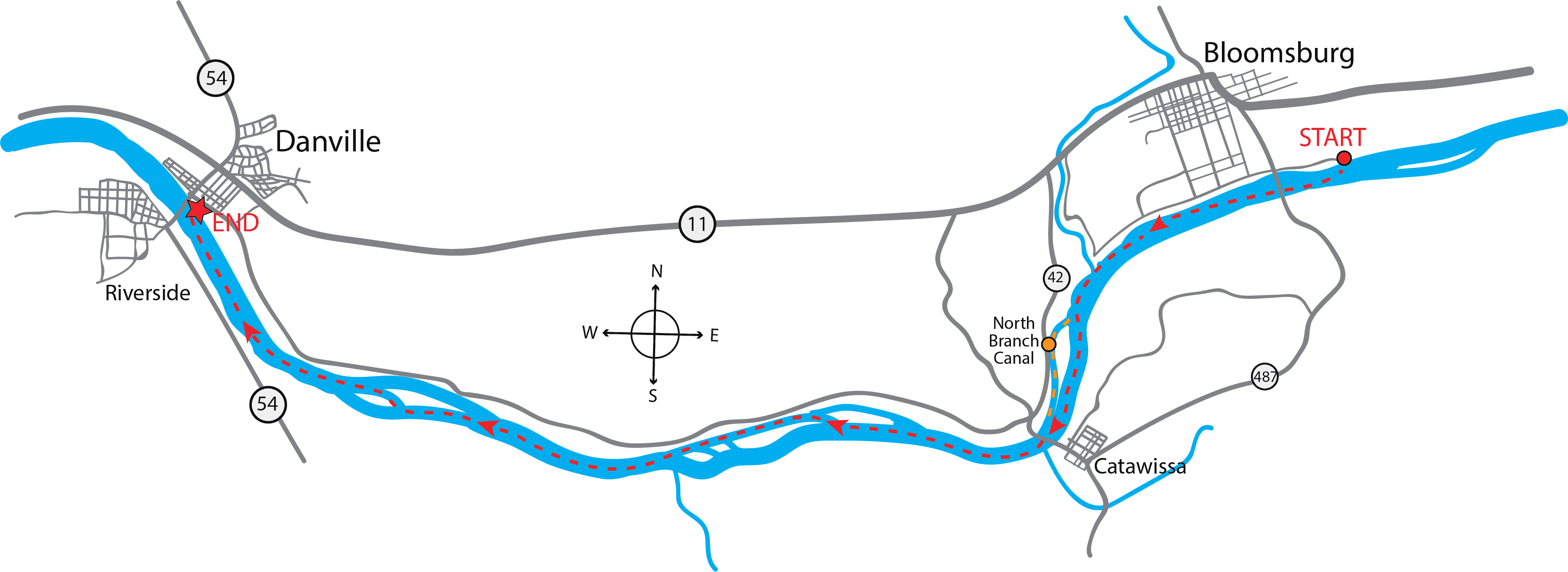
Launch at the PFBC Bloomsburg boat ramp (River Mile: 148.8). Along the way you will pass the Bloomsburg USGS gauge at the East Bloomsburg Bridge carrying PA-487, then Bloomsburg Town Park and its canoe launch, and the historic Fort McClure House, all on river right. Although never fully fortified, Fort McClure was stockaded and provided security and shelter for residents in the late 1700s. The house on the fort site is beautifully restored and is the home of the local DAR chapter.
Another quarter mile down river brings you to the mouth of Fishing Creek on river right. Just upstream is Indian Head Campground, then Rupert Covered Bridge, and another half mile is Boone’s Dam (dangerous low head damon this section of Fishing Creek) and remnants of an aqueduct for the North Branch Canal.
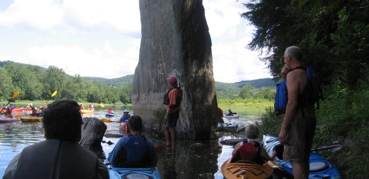
 Around mile 146 is the abandoned Reading Railroad Bridge. Hopes are to use this as part of a future rail trail. Navigate river right of upcoming islands (please note that all islands on this route are privately-owned- do not stop on the islands) to see remnants of the North Branch Canal wall and possible wildlife. Evidence of canal structures such as locks, stone retaining walls, towpath, and aqueducts may be seen through River Mile: 139; consult Section 13 of the North Branch Susquehanna River Trail map for most prominent locations. Operated from 1831 to 1901, the North Branch Canal provided transportation for people and materials up and down the Susquehanna. The Montour Area Recreation Commission has constructed a walking and bike path along the old towpath, hoping to eventually connect to Catawissa and Danville. Once fully open (currently, only 3.5 miles are available for use), this trail will contribute to a possible overland return to the launch location via Catawissa, offering a wonderful round-trip loop in the Greenway. Also on this side of the islands are some prominent cliffs carved by glacial meltwaters, one of which offers a likeness to a human head and is thus dubbed “Indian Head Rock.”
Continue past Clark’s Island, Menches Island, Roaring Creek confluence (River Left), Reed’s Island, Vastine’s Island, mouth of Logan Run (RL) and PFBC Danville Access (RR, RM 137.9, boat ramp). Be on the lookout for wildlife in this pleasant stretch: bald eagles, herons, waterfowl, beaver, and otters, among others. Depending on water levels, eagle-eyed paddlers may be able to spy eel weirs in the river bed. Lucky anglers on this stretch may catch smallmouth bass, muskellunge, walleye, catfish, and northern pike.
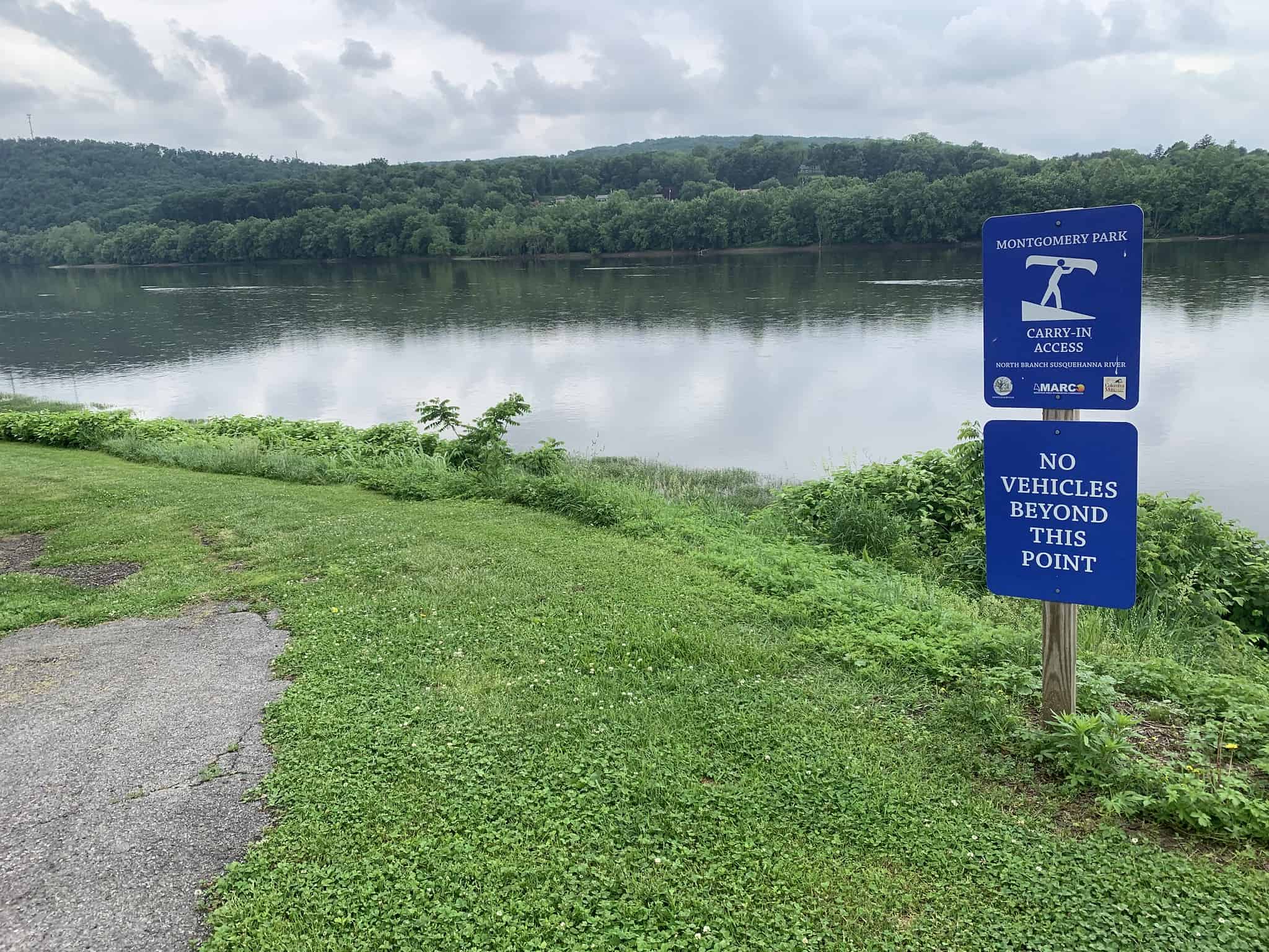
Next on river right are soccer fields, the Levee Top Trail, and then downtown Danville will start to come into view. After disembarking at Montgomery Park Municipal Access (River Right, River Mile: 136.4, canoe launch), check out Levee Top Trail and Riverfront Park for views of the scenic North Branch and Riverside Borough.
Amenities
Danville is, and Bloomsburg soon will be, a Susquehanna Greenway River Town, with multiple cultural, historical, lodging, and dining opportunities. Check out: itourcolumbiamontour.com for more information.
Put In
River Mile 148.8: PFBC Bloomsburg Access (boat ramp)
Take Out
River Mile 136.4: Montgomery Park Municipal Access, Danville